Value through superior quality, no compromises.
JVR Water Consultants (Pty) Ltd is a Water Use License Application Specialist company that specializes in the management, compilation, submission and follow-up of Water Use License Applications (WULA’s).
JVR offers a “Turn-Key” service for each Water Use License Application where the entire process is managed from the start by JVR. The client therefore only deals with JVR, who in turn manages the entire WULA process. This includes all engagements with the Department of Water and Sanitation, or any other relevant organs of state, as well as the engagement and management of all the required specialists such as Ecologists, Geohydrologists, Hydrologists, Dam Engineers to name a few.
FAQ’s
-
If a borehole is only registered it is not lawful, the borehole needs to be authorized in terms of a Certificate of Verification in terms of Section 35(4) of the National Water Act (Act 36 of 1998), a General Authorization or a Water Use License.
-
Yes, depending on the size of the dam it will require either a General Authorization or a Water Use License.
-
Yes, the borehole/surface water abstraction point used to provide water for the animals require an authorization, as well as the manure stockpiles generated by the animals, the management of the runoff water from the feedlot pens also require authorization.
-
Yes, the borehole/surface water abstraction point used to provide drinking water and wash water to the houses require authorization, the disposal of the wash water removed from the houses also require authorization, as well as the coal and coal ash stockpiles if the farm uses coal as energy source.
-
The water use rights that were “bought” still needs to be approved by the Department of Water and Sanitation. A financial transaction between you and your neighbor does not automatically make the water use rights yours. Your neighbor needs to first surrender the water use rights to you on paper. You then need to apply to the Department of Water and Sanitation for approval of the transfer, the Department then needs to approve your application, and only then does the water use rights become lawfully yours. If the Department does not approve your application, the water use rights will remain your neighbor’s irrespective of whether you have paid him a sum of money or not.
-
Yes, we can assist by doing a Screening of the farm in which we assess the farm to identify all the water uses that require authorisation. We then obtain all the latest water use entitlement information from the Department of Water and Sanitation and compare it to the water uses identified.
-
No, a borehole used for irrigation must be tested for at least 24 hours. Depending on the volume of water abstracted it my also require a longer test than 24 hours. The borehole tests alone are also no sufficient for the Department of Water and Sanitation. The test results must be accompanied by a Geohydrological Report in which a Geohydrologist has analyzed the test results.
-
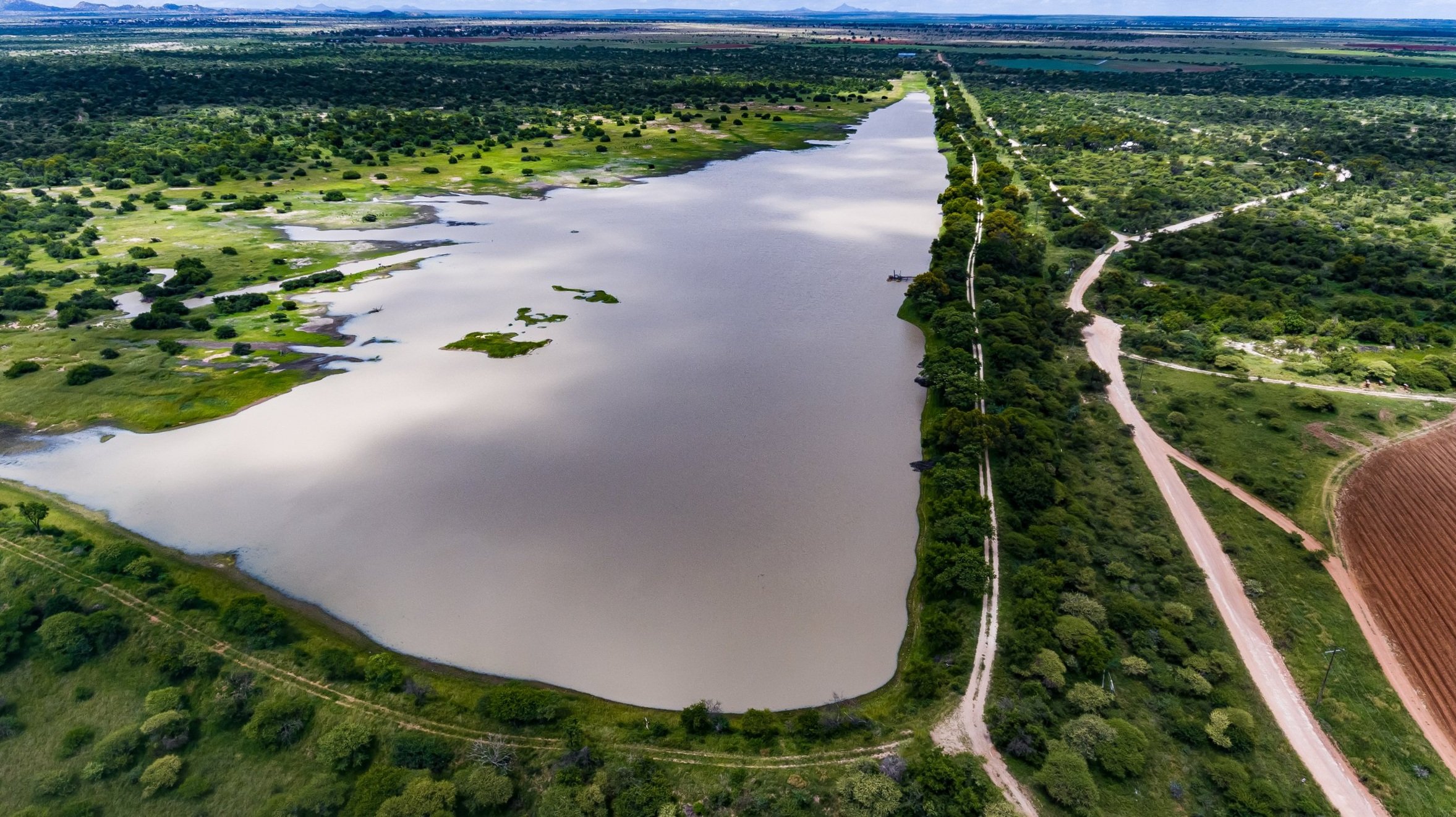
Yes, a wetland is regarding as a watercourse by the National Water Act (Act 36 of 1998). Any water abstracted from a wetland requires an authorization. In fact, any activity taking place within a 500m radius of a wetland requires authorization from the Department of Water and Sanitation.
Our Services
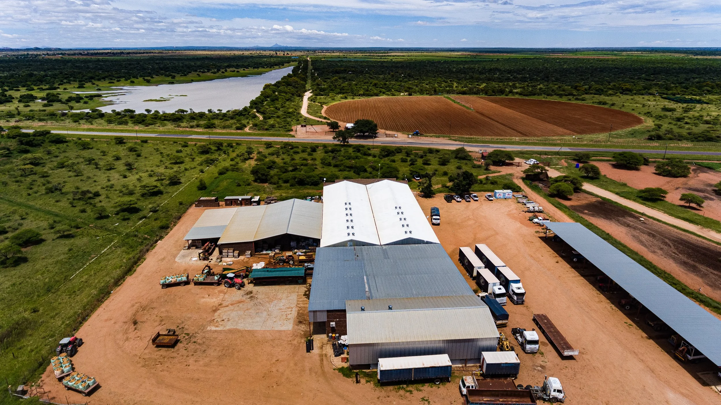
Typical farming activities that require an authorization from the Department of Water and Sanitation:
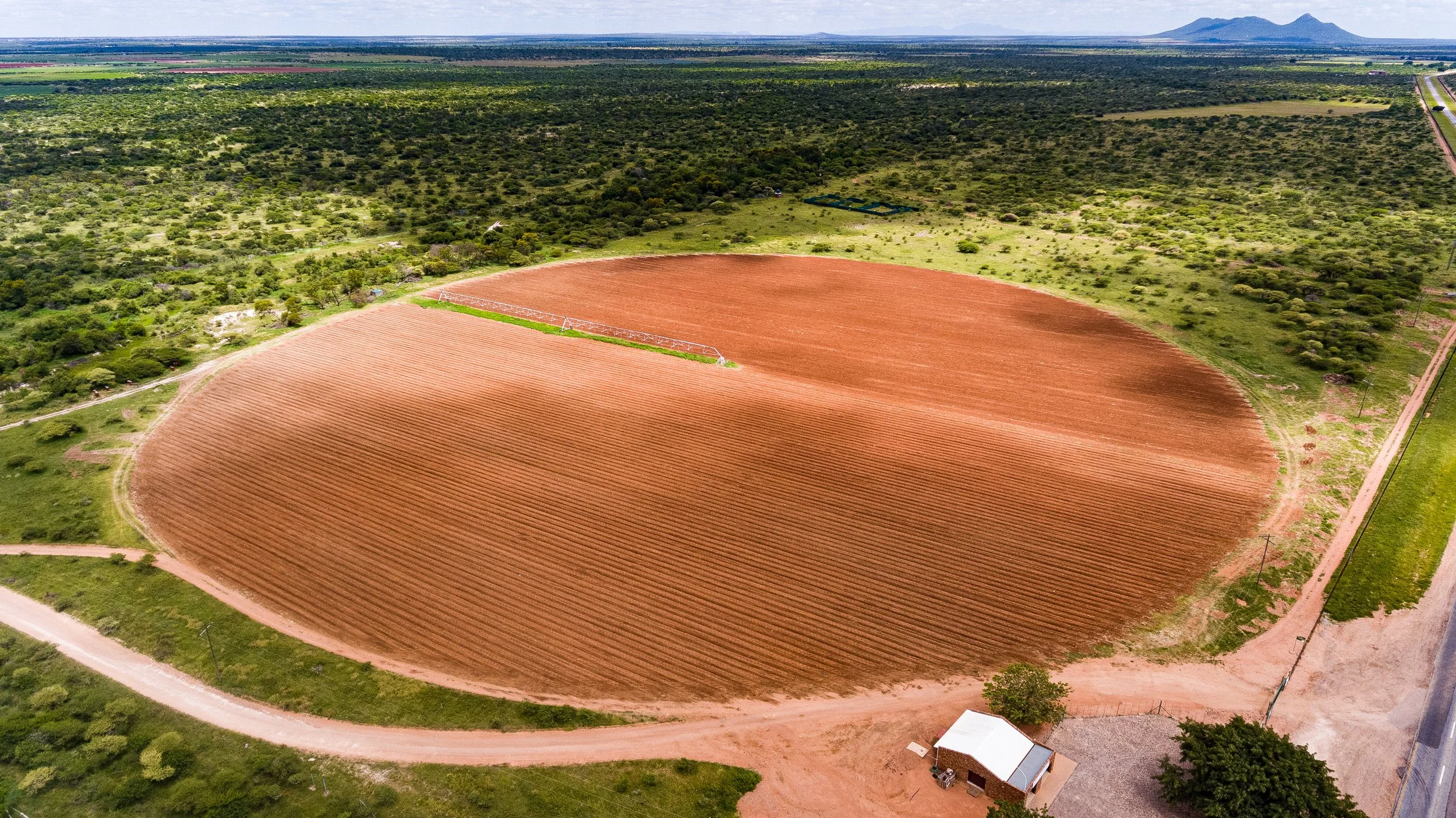
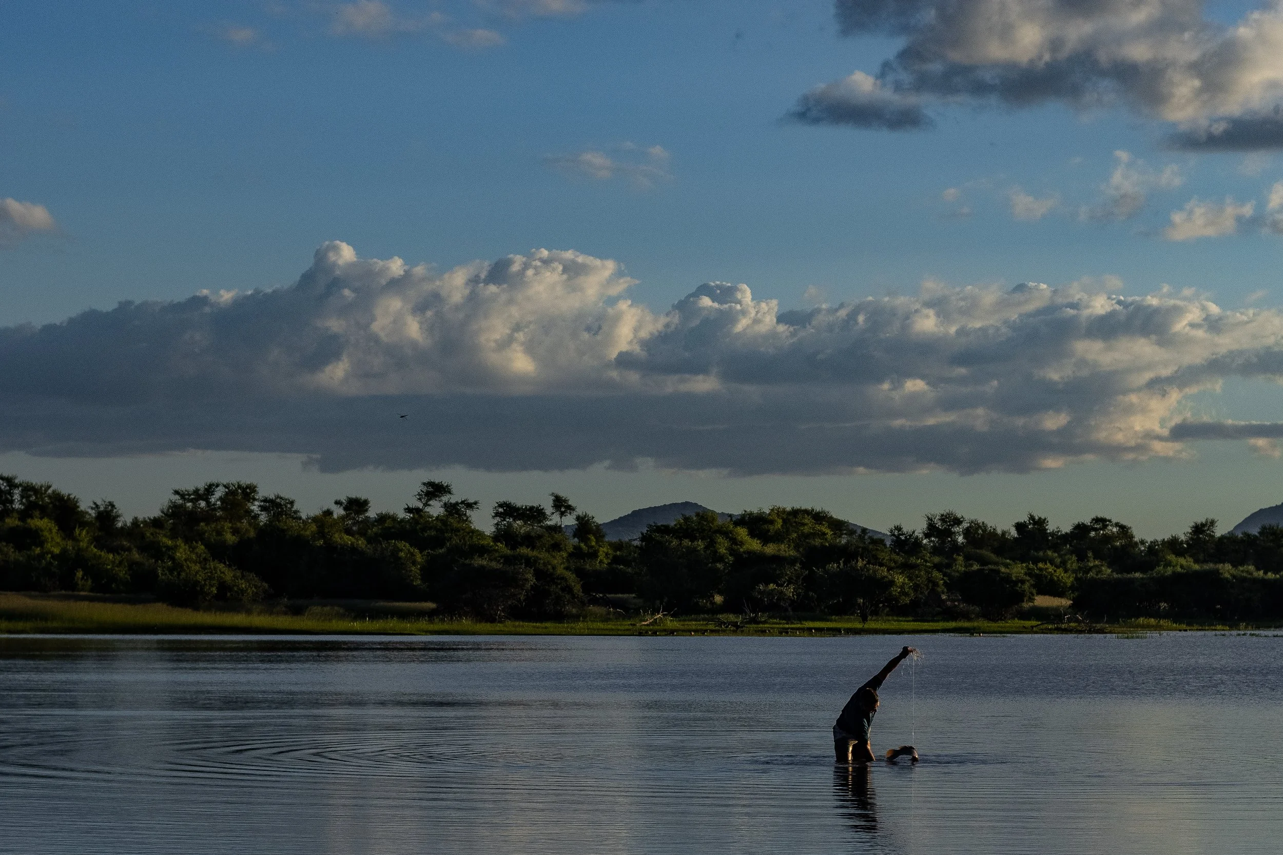
Abstraction of water from boreholes, rivers/streams or wetlands for irrigation and other related farming activities such as for feedlots
Construction of a pump house and associated abstraction infrastructure within a 100m radius or within the 1:100 year flood line of a river or stream
Cultivation of crops (via dry lands or under irrigation), within a 500m radius of a wetland
Storage of water in dams (both off-stream dams and dams that were built within a drainage line)
The storage of effluent water such as wash water from chicken houses, pig houses or dairies, blood water from abattoirs, or the runoff from feedlot pens
Irrigation with effluent water such as wash water from chicken houses, pig houses or dairies, blood water from abattoirs, or the runoff from feedlot pens
The discharge of effluent water into a river/stream or wetland, such as wash water from chicken houses, pig houses or dairies, blood water from abattoirs, or the runoff from feedlot pens
The application of manure to cultivated fields as fertilizer
Manure stockpiles at feedlots
Gallery